

Ordnance Survey Maps Price Comparison
Compare Ordnance Survey Maps prices across UK retailers and listings
Compare Prices


Maps by Ordnance Survey
Discover Ordnance Survey's range of Maps products listed across UK retailers.
Explore More
Explore Ordnance Survey Maps
See how Ordnance Survey Maps products are listed and compared
Ordnance Survey Maps includes 312 products with [ListingCount+] available product options. Listings may vary by model, seller, and availability, which can affect how products appear within the category. Viewing the brand at a category level helps highlight the overall range before focusing on individual products or listings.
This makes it easier to browse brand-specific products, compare options efficiently, and refine your search as needed with greater clarity.
Brand Coverage
Brand products represented within this category
Listing Variety
Different models listed by multiple sellers
Easier Browsing
Explore brand options before narrowing choices

100K+
Product Choices
Browse a wide selection of Ordnance Survey Maps product options from different retailers.
Search
Compare
Choose
Popular Products
View All

Brighton & Lewes, Haywards Heath by Ordnance Survey (Sheet map, folded, 2016)
Hive Books

Bristol & Bath, Thornbury & Chew Magna by Ordnance Survey (Sheet map, folded, 2016)
Hive Books
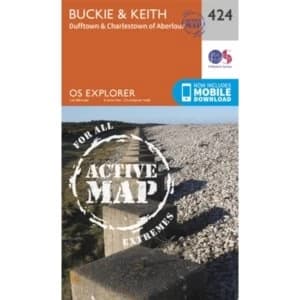
Buckie and Keith by Ordnance Survey (Sheet map, folded, 2015)
Hive Books

Bude, Boscastle and Tintagel by Ordnance Survey (Sheet map, folded, 2015)
Hive Books
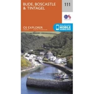
Bude, Boscastle and Tintagel: 111 by Ordnance Survey (Sheet map, folded, 2015)
Hive Books

Builth Wells, Painscastle and Talgarth by Ordnance Survey (Sheet map, folded, 2015)
Hive Books

Bury St Edmunds, Sudbury & Stowmarket by Ordnance Survey (Sheet map, folded, 2016)
Hive Books

Bury St.Edmunds and Stowmarket by Ordnance Survey (Sheet map, folded, 2015)
Hive Books

Cape Wrath, Durness & Scourie by Ordnance Survey (Sheet map, folded, 2016)
Hive Books
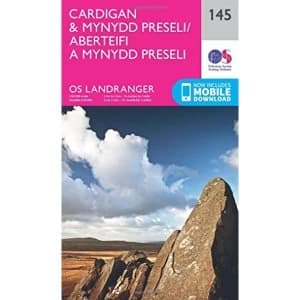
Cardigan and Mynydd Preseli Sheet map, folded 2016
Hive Books

Carlisle & Solway Firth, Gretna Green by Ordnance Survey (Sheet map, folded, 2016)
Hive Books

Carmarthen and Kidwelly by Ordnance Survey (Sheet map, folded, 2015)
Hive Books

Castle Douglas, Loch Ken and New Galloway by Ordnance Survey (Sheet map, folded, 2015)
Hive Books

Cerne Abbas and Bere Regis, Blandford Forum and Beaminster by Ordnance Survey (Sheet map, folded, 2015)
Hive Books
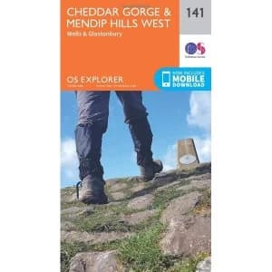
Cheddar Gorge and Mendip Hills West by Ordnance Survey (Sheet map, folded, 2015)
Hive Books

Chesterfield and Alfreton by Ordnance Survey (Sheet map, folded, 2015)
Hive Books

Chichester & the South Downs by Ordnance Survey (Sheet map, folded, 2016)
Hive Books
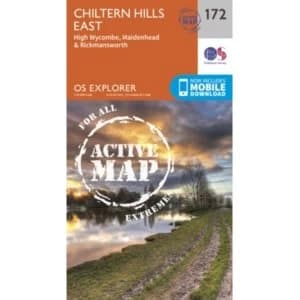
Chiltern Hills East by Ordnance Survey (Sheet map, folded, 2015)
Hive Books

Chiltern Hills West, Henley-on-Thames and Wallingford by Ordnance Survey (Sheet map, folded, 2015)
Hive Books

Chippenham and Bradford-on-Avon by Ordnance Survey (Sheet map, folded, 2015)
Hive Books

Chippenham and Bradford-on-Avon: 156 by Ordnance Survey (Sheet map, folded, 2015)
Hive Books
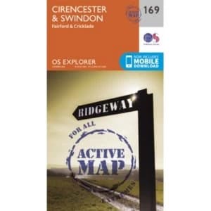
Cirencester and Swindon, Fairford and Cricklade by Ordnance Survey (Sheet map, Active map, folded, 2015)
Hive Books

Cirencester and Swindon, Fairford and Cricklade by Ordnance Survey (Sheet map, folded, 2015)
Hive Books

Clovelly and Hartland by Ordnance Survey (Sheet map, folded, 2015)
Hive Books

Clovelly and Hartland: 126 by Ordnance Survey (Sheet map, folded, 2015)
Hive Books
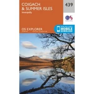
Coigach and Summer Isles by Ordnance Survey (Sheet map, folded, 2015)
Hive Books

Colchester by Ordnance Survey (Sheet map, folded, 2015)
Hive Books
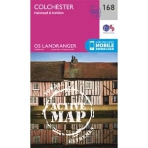
Colchester, Halstead & Maldon by Ordnance Survey (Sheet map, Active map, folded, 2016)
Hive Books
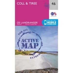
Coll & Tiree by Ordnance Survey (Sheet map, folded, 2016)
Hive Books

Colonsay and Oronsay by Ordnance Survey (Sheet map, folded, 2015)
Hive Books
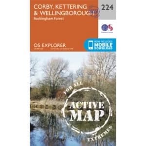
Corby, Kettering and Wellingborough by Ordnance Survey (Sheet map, folded, 2015)
Hive Books

Correen Hills & Glenlivet, Bennachie & Ladder Hills, Insch & Rhynie by Ordnance Survey (Sheet map, folded, 2015)
Hive Books

Crawley & Horsham, Cranleigh & Billingshurst by Ordnance Survey (Sheet map, folded, 2015)
Hive Books

Crewe and Nantwich, Whitchurch and Tattenhall by Ordnance Survey (Sheet map, folded, 2015)
Hive Books

Cumnock and Dalmellington by Ordnance Survey (Sheet map, Active map, folded, 2015)
Hive Books
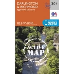
Darlington and Richmond by Ordnance Survey (Sheet map, folded, 2015)
Hive Books

Doncaster, Conisbrough, Maltby and Thorne by Ordnance Survey (Sheet map, folded, 2015)
Hive Books

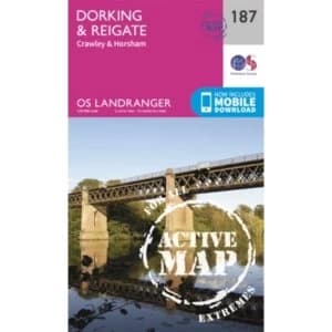
Dorking, Box Hill and Reigate by Ordnance Survey (Sheet map, folded, 2015)
Hive Books
Dorking, Reigate & Crawley by Ordnance Survey (Sheet map, folded, 2016)
Hive Books

Dornoch & Alness, Invergordon & Tain by Ordnance Survey (Sheet map, folded, 2016)
Hive Books