

Ordnance Survey Maps Price Comparison
Compare Ordnance Survey Maps prices across UK retailers and listings
Compare Prices


Maps by Ordnance Survey
Discover Ordnance Survey's range of Maps products listed across UK retailers.
Explore More
Explore Ordnance Survey Maps
See how Ordnance Survey Maps products are listed and compared
Ordnance Survey Maps includes 312 products with [ListingCount+] available product options. Listings may vary by model, seller, and availability, which can affect how products appear within the category. Viewing the brand at a category level helps highlight the overall range before focusing on individual products or listings.
This makes it easier to browse brand-specific products, compare options efficiently, and refine your search as needed with greater clarity.
Brand Coverage
Brand products represented within this category
Listing Variety
Different models listed by multiple sellers
Easier Browsing
Explore brand options before narrowing choices

100K+
Product Choices
Browse a wide selection of Ordnance Survey Maps product options from different retailers.
Search
Compare
Choose
Popular Products
View All

Strath Halladale and Strathy Point by Ordnance Survey (Sheet map, folded, 2015)
Hive Books
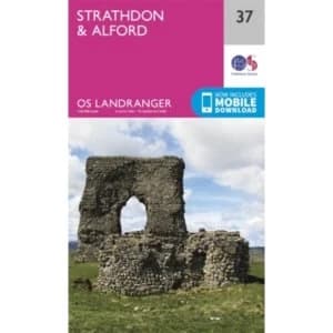
Strathdon & Alford by Ordnance Survey (Sheet map, folded, 2016)
Hive Books

Strathnaver, Bettyhill & Tongue by Ordnance Survey (Sheet map, folded, 2016)
Hive Books

Stroud, Tetbury and Malmesbury by Ordnance Survey (Sheet map, folded, 2015)
Hive Books
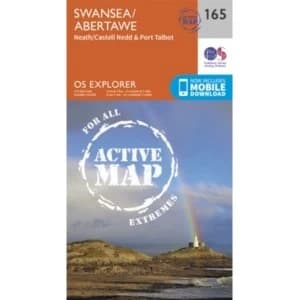
Swansea, Neath and Port Talbot by Ordnance Survey (Sheet map, folded, 2015)
Hive Books
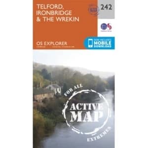
Telford, Ironbridge and the Wrekin by Ordnance Survey (Sheet map, folded, 2015)
Hive Books
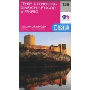
Tenby & Pembroke by Ordnance Survey (Sheet map, folded, 2016)
Hive Books

Thames Estuary, Rochester & Southend-on-Sea by Ordnance Survey (Sheet map, folded, 2016)
Hive Books

The Cheviot Hills, Jedburgh & Wooler by Ordnance Survey (Sheet map, folded, 2015)
Hive Books

Thetford & Diss, Breckland & Wymondham by Ordnance Survey (Sheet map, folded, 2016)
Hive Books
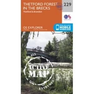
Thetford Forest in the Brecks by Ordnance Survey (Sheet map, folded, 2015)
Hive Books

Thornbury, Dursley and Yate by Ordnance Survey (Sheet map, folded, 2015)
Hive Books

Thurso & Dunbeath by Ordnance Survey (Sheet map, folded, 2016)
Hive Books

Thurso & Wick, John O'Groats by Ordnance Survey (Sheet map, folded, 2016)
Hive Books
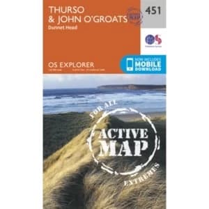
Thurso and John O'Groats by Ordnance Survey (Sheet map, folded, 2015)
Hive Books

Torquay & Dawlish, Newton Abbot by Ordnance Survey (Sheet map, folded, 2015)
Hive Books

Truro & Falmouth, Roseland Peninsula by Ordnance Survey (Sheet map, folded, 2016)
2 marketplaces

Upper Clyde Valley, Biggar & Lanark by Ordnance Survey (Sheet map, folded, 2016)
Hive Books
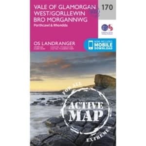
Vale of Glamorgan, Rhondda & Porthcawl by Ordnance Survey (Sheet map, folded, 2016)
Hive Books

Wales & West Midlands by Ordnance Survey (Sheet map, folded, 2016)
2 marketplaces

Warminster and Trowbridge by Ordnance Survey (Sheet map, folded, 2015)
Hive Books

Warminster and Trowbridge by Ordnance Survey (Sheet map/active map, folded, 2015)
Hive Books

West Lewis/Taobh Siar Leodhais by Ordnance Survey (Sheet map, folded, 2015)
Hive Books
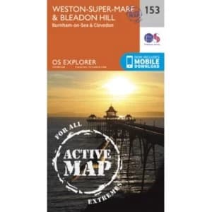
Weston-Super-Mare and Bleadon Hill by Ordnance Survey (Sheet map, folded, 2015)
Hive Books

Whitby, Esk Dale & Robin Hood's Bay by Ordnance Survey (Sheet map, folded, 2016)
Hive Books
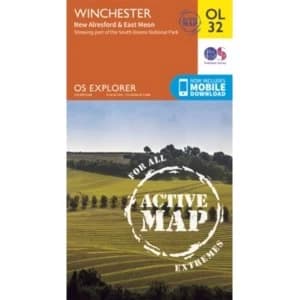
Winchester, New Alresford & East Meon by Ordnance Survey (Sheet map, folded, 2015)
Hive Books
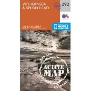
Withernsea and Spurn Head by Ordnance Survey (Sheet map, folded, 2015)
Hive Books

Wolverhampton and Dudley, Stourbridge and Kidderminster by Ordnance Survey (Sheet map, folded, 2015)
Hive Books

Woodbridge and Saxmundham by Ordnance Survey (Sheet map, folded, 2015)
Hive Books
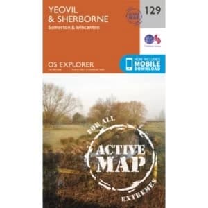
Yeovil and Sherbourne:129 by Ordnance Survey (Sheet map, folded, 2015)
Hive Books

Yorkshire Dales Northern & Central by Ordnance Survey (Sheet map, folded, 2016)
Hive Books

Yorkshire Dales South & Western by Ordnance Survey (Sheet map, folded, 2016)
Hive Books