

Ordnance Survey Maps Price Comparison
Compare Ordnance Survey Maps prices across UK retailers and listings
Compare Prices


Maps by Ordnance Survey
Discover Ordnance Survey's range of Maps products listed across UK retailers.
Explore More
Explore Ordnance Survey Maps
See how Ordnance Survey Maps products are listed and compared
Ordnance Survey Maps includes 312 products with [ListingCount+] available product options. Listings may vary by model, seller, and availability, which can affect how products appear within the category. Viewing the brand at a category level helps highlight the overall range before focusing on individual products or listings.
This makes it easier to browse brand-specific products, compare options efficiently, and refine your search as needed with greater clarity.
Brand Coverage
Brand products represented within this category
Listing Variety
Different models listed by multiple sellers
Easier Browsing
Explore brand options before narrowing choices

100K+
Product Choices
Browse a wide selection of Ordnance Survey Maps product options from different retailers.
Search
Compare
Choose
Popular Products
View All

Plymouth & Launceston, Tavistock & Looe by Ordnance Survey (Sheet map, folded, 2016)
Hive Books
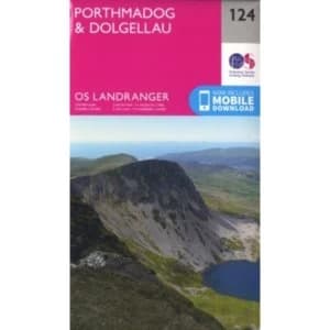
Porthmadog & Dolgellau by Ordnance Survey (Sheet map, folded, 2016)
Hive Books
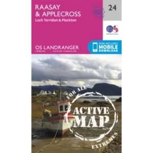
Raasay & Applecross, Loch Torridon & Plockton by Ordnance Survey (Sheet map, folded, 2016)
Hive Books

Reading, Wokingham and Pangbourne by Ordnance Survey (Sheet map, folded, 2015)
Hive Books

Rhondda and Merthyr Tydfil by Ordnance Survey (Sheet map, folded, 2015)
Hive Books

Roman Britain by Ordnance Survey (Sheet map, folded, 2016)
Hive Books

Romney Marsh, Rye and Winchelsea by Ordnance Survey (Sheet map, folded, 2015)
Hive Books

Romsey, Andover and Test Valley by Ordnance Survey (Sheet map, folded, 2015)
Hive Books

Romsey, Andover and Test Valley: 131 by Ordnance Survey (Sheet map, folded, 2015)
Hive Books
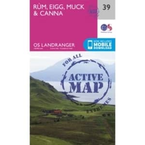
Rum, Eigg & Muck by Ordnance Survey (Sheet map, folded, 2016)
Hive Books

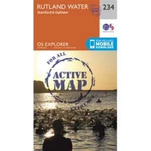
Rutland Water, Stamford and Oakham by Ordnance Survey (Sheet map, folded, 2015)
Hive Books
Rutland Water, Stamford and Oakham:234 by Ordnance Survey (Sheet map, folded, 2015)
Hive Books

Salisbury and Stonehenge by Ordnance Survey (Sheet map, folded, 2015)
Hive Books
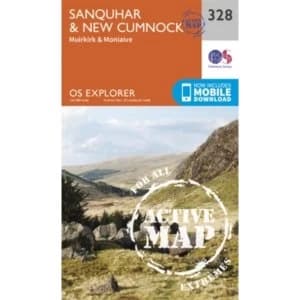
Sanquhar and New Cumnock by Ordnance Survey (Sheet map, folded, 2015)
Hive Books

Scarborough, Bridlington & Filey by Ordnance Survey (Sheet map, folded, 2016)
Hive Books

Scarborough, Bridlington and Flamborough Head by Ordnance Survey (Sheet map, folded, 2015)
Hive Books

Scarborough, Bridlington and Flamborough Head: 301 by Ordnance Survey (Sheet map, folded, 2015)
Hive Books

Scunthorpe & Gainsborough by Ordnance Survey (Sheet map, folded, 2016)
Hive Books

Sevenoaks and Tonbridge by Ordnance Survey (Sheet map, folded, 2015)
Hive Books

Shaftesbury, Cranbourne Chase, Poole, Wimbourne Minster and Blandford by Ordnance Survey (Sheet map, folded, 2015)
Hive Books

Sheffield and Barnsley by Ordnance Survey (Sheet map, folded, 2015)
Hive Books

Sheffield and Barnsley Sheet map, folded 2015
Hive Books

Shepton Mallet and Mendip Hills East by Ordnance Survey (Sheet map, folded, 2015)
Hive Books

Sherwood Forest by Ordnance Survey (Sheet map, folded, 2015)
Hive Books

Shetland - Unst, Yell and Fetlar by Ordnance Survey (Sheet map, folded, 2015)
Hive Books
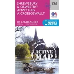
Shrewsbury & Oswestry by Ordnance Survey (Sheet map, folded, 2016)
Hive Books

Shrewsbury by Ordnance Survey (Sheet map, folded, 2015)
Hive Books

Skegness & Horncastle by Ordnance Survey (Sheet map, folded, 2016)
Hive Books

Skye - Cuillin Hills - Soay by Ordnance Survey (Sheet map/active map, folded, 2015)
Hive Books
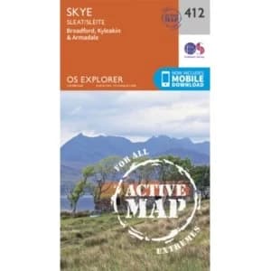
Skye - Sleat by Ordnance Survey (Sheet map, folded, 2015)
Hive Books

South Skye & Cuillin Hills by Ordnance Survey (Sheet map, folded, 2016)
Hive Books

St Andrews, Kirkcaldy & Glenrothes by Ordnance Survey (Sheet map, folded, 2016)
Hive Books

St Davids & Haverfordwest:157 by Ordnance Survey (Sheet map, folded, 2016)
Hive Books

St.Austell, Liskeard, Fowey, Looe and Lostwithiel by Ordnance Survey (Sheet map, folded, 2015)
Hive Books
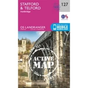
Stafford & Telford, Ironbridge by Ordnance Survey (Sheet map, folded, 2016)
Hive Books

Stirling & the Trossachs by Ordnance Survey (Sheet map, folded, 2016)
Hive Books

Stirling and Ochil Hills West by Ordnance Survey (Sheet map, folded, 2015)
Hive Books
Stoke-On-Trent and Newcastle Under Lyme by Ordnance Survey (Sheet map, folded, 2015)
Hive Books

Stranraer & Glenluce by Ordnance Survey (Sheet map, folded, 2016)
Hive Books

Stratford-Upon-Avon and Evesham by Ordnance Survey (Sheet map, folded, 2015)
Hive Books